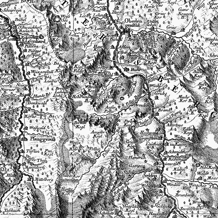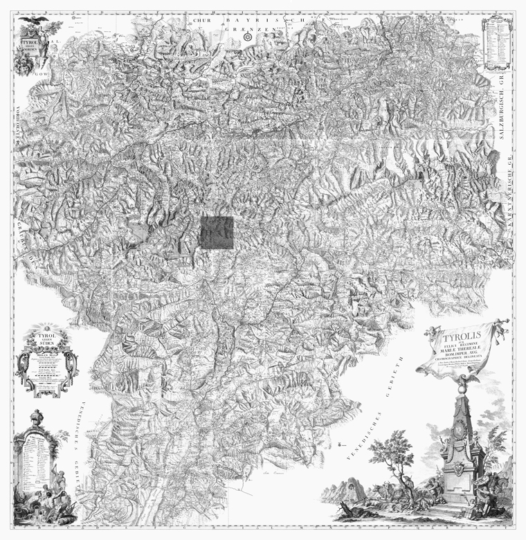
One of the greatest mapping achievements was the 1769 map of the Country of Tyrol.
The government of the Habsburg Empire ordered that a new map of the country be made, and that no data from old maps would be used. Now the Tyrol is in the Alps - it was country full of glaciers and mountains and thousands of villages tucked into hidden valleys. Distant villages inhabited by suspicious peasants who habitually attacked outsiders.
Given this extraordinary challenge, it is amazing that every single village and valley in the entire country was mapped by two men in only three years, using surveying tools they built themselves. Their finished work is beautiful in detail, and epic in scope. Thousands of villages, mountains, glaciers, castles, bridges, rivers, and farms were personally visited and plotted.

The shaded area is the size of the area shown in the previous map.
I’m in love.
You can download the whole map here: Atlas Tyrolensis (jpg, 53mb).